
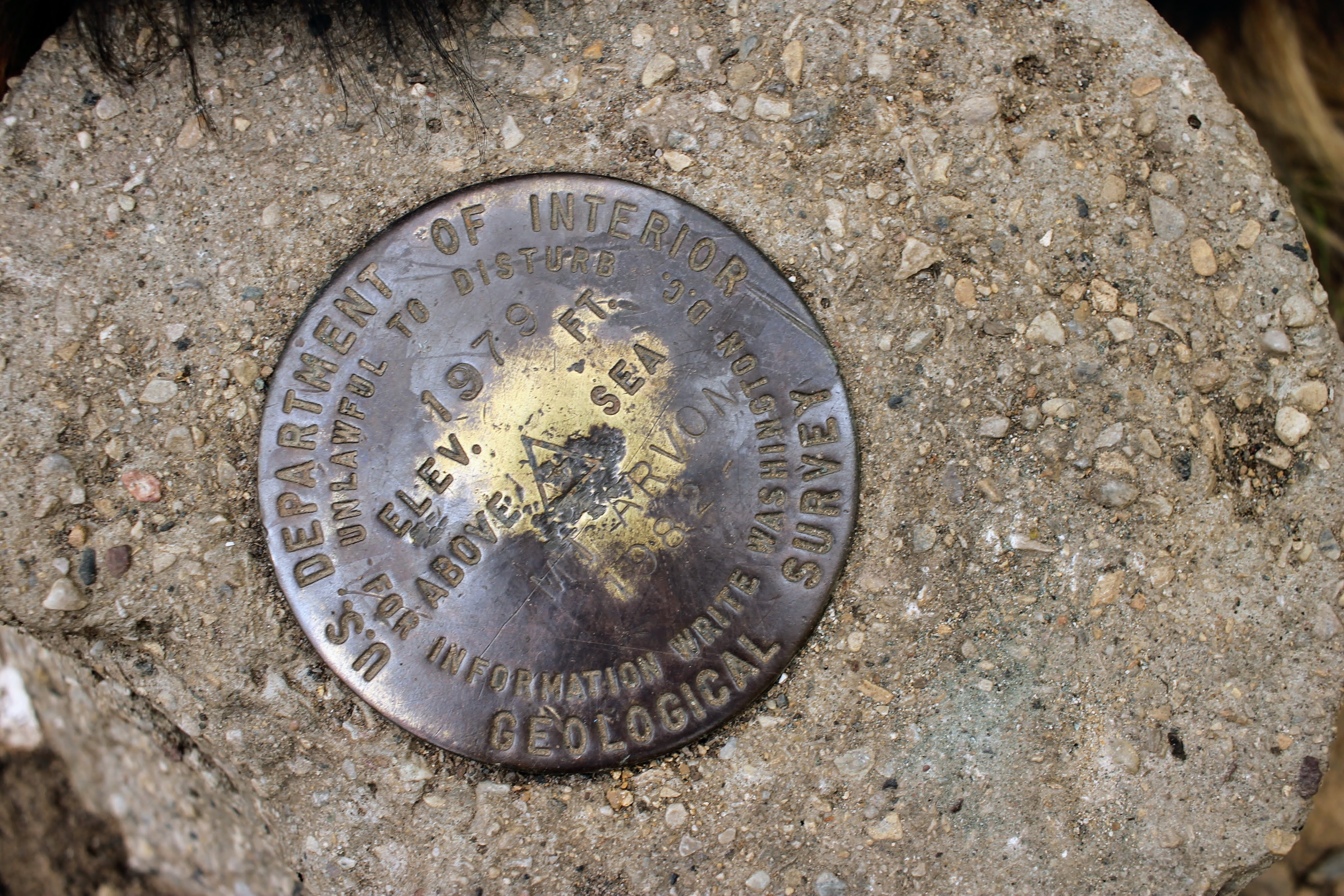
Michigan’s Highest Point of Elevation
October 1, 2021
L’anse, MI
Trail reviews warned me that an SUV would be a good idea, being that the roads around here are not fully paved. For once I listened to them and left the minivan at home. However, I made the mistake of plugging “Mount Arvon” into google maps and following the directions instead of using the GPS coordinates that were recommended. So instead of gravel roads, my path took me on what I can only assume were ORV trails based on the vast number of them I passed. At one point, I am told to turn onto a road that does not exist. I am supposed to stop at a parking lot, leaving us with a 1-2 mile hike to the top. I do not find it. Instead I end up right at the summit.


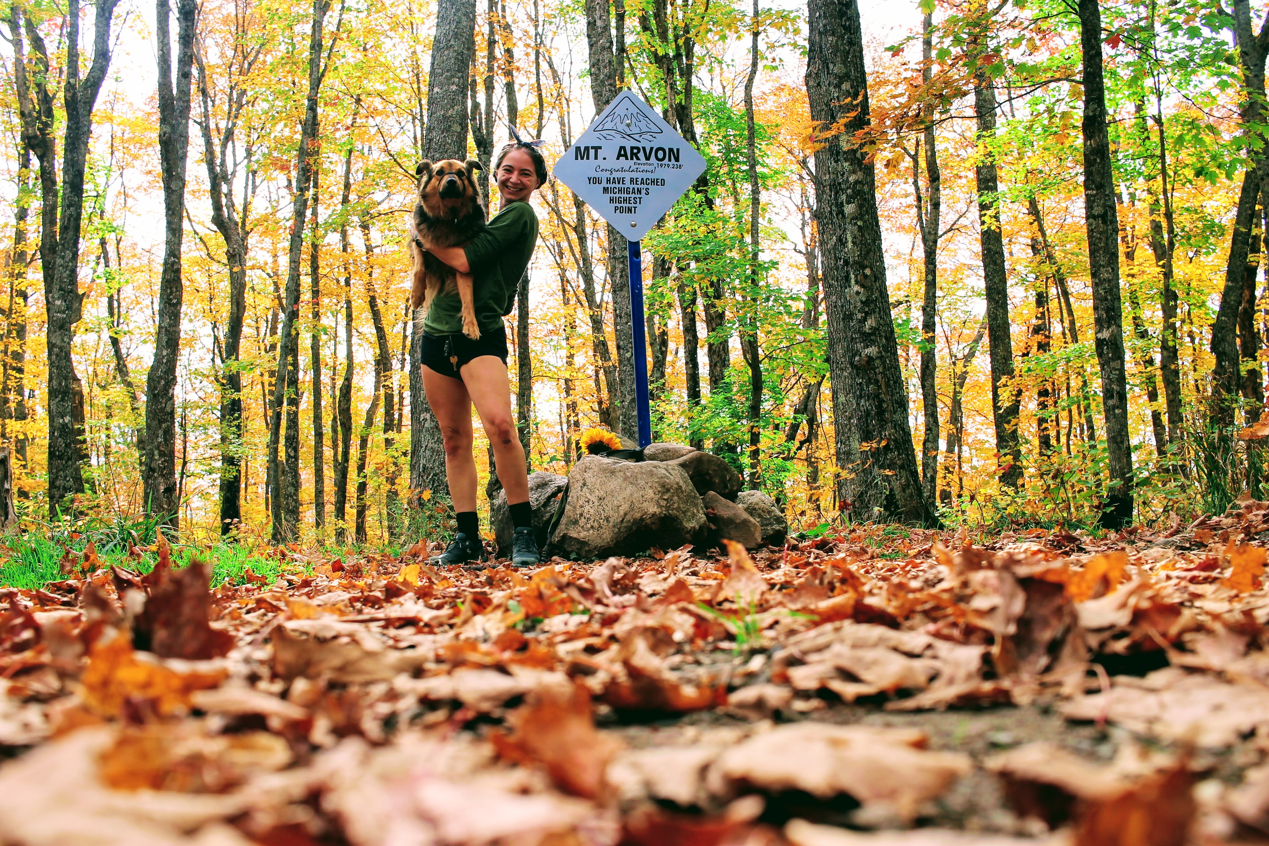
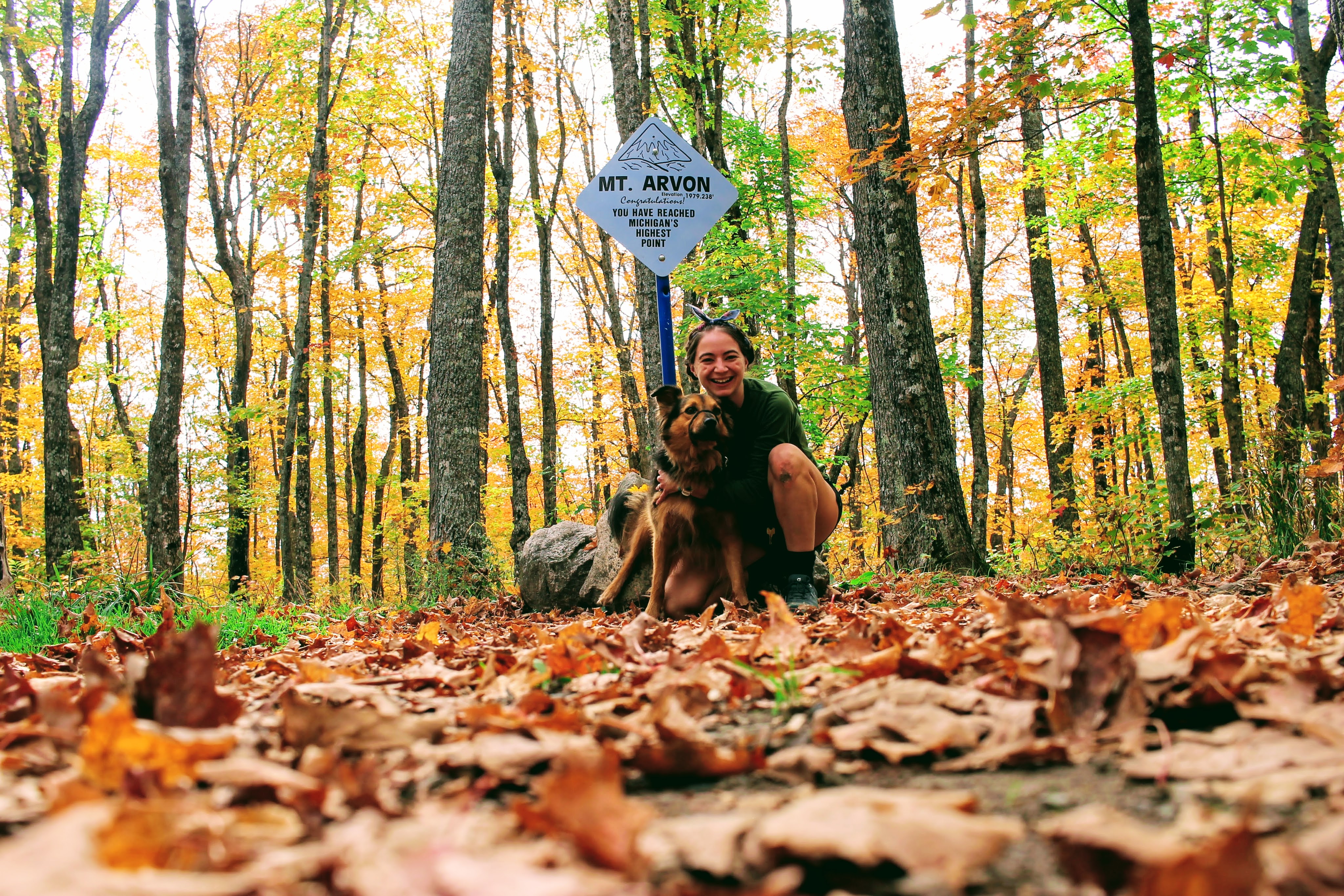
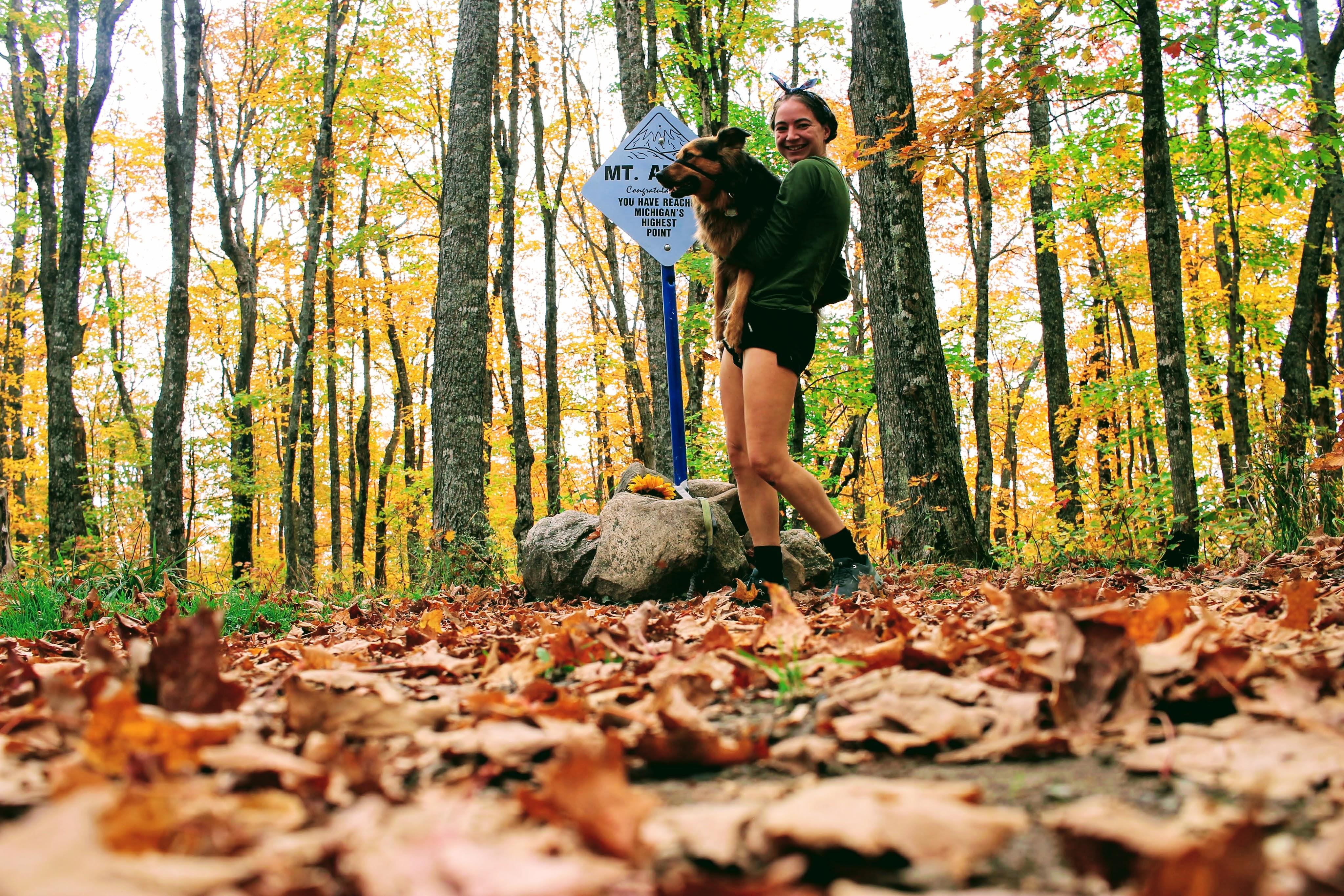
The overlook is breathtaking. I am so glad I waited until fall to make this trek. We snap a few picks, then head to the true summit.


Gob agrees to a few more pictures before we load up the car and try to find a better path down.
Spoiler alert. We fail.

My drive down crosses two small streams sans bridges. As I pull up to the edge of the stream, I can’t help but giggle before careening down the banks with a big splash. Then I am on a logging road that I’m fairly certain I am not allowed to be on. After 30 minutes, we find ourselves back on actual asphalt roads. My Subaru lets out a sigh of relief at the end of our off roading adventure.
Check out my other Michigan State Park adventures!
